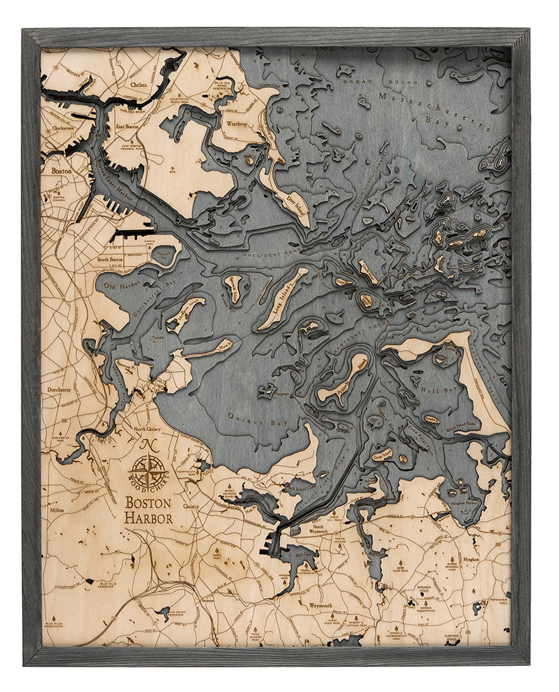
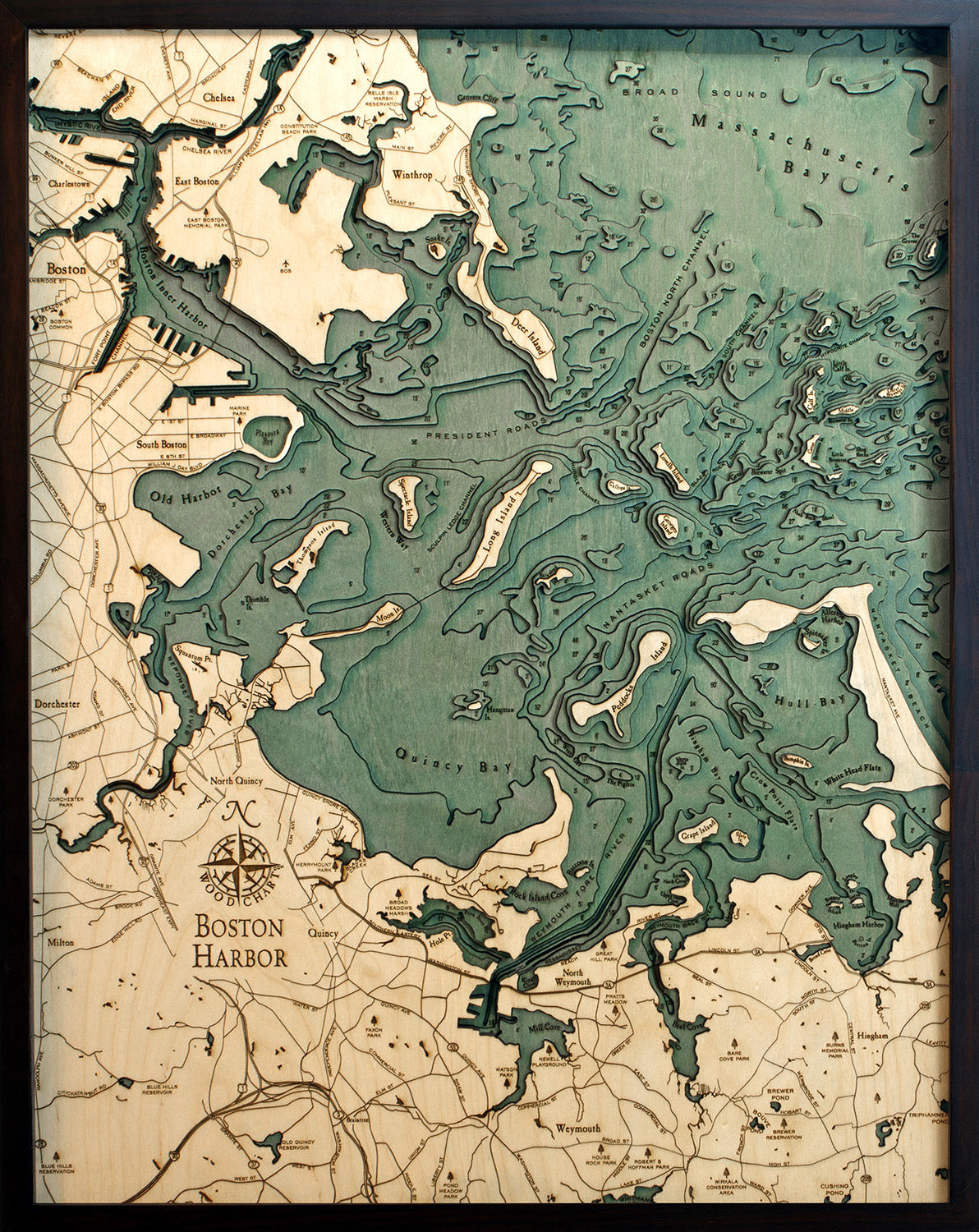
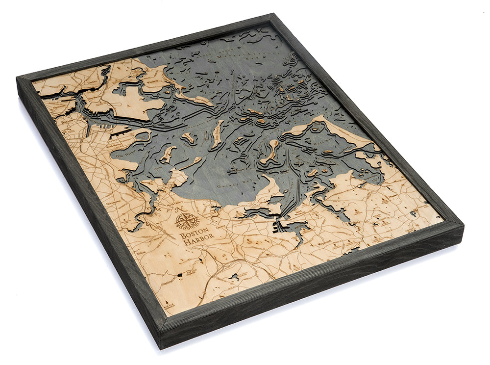
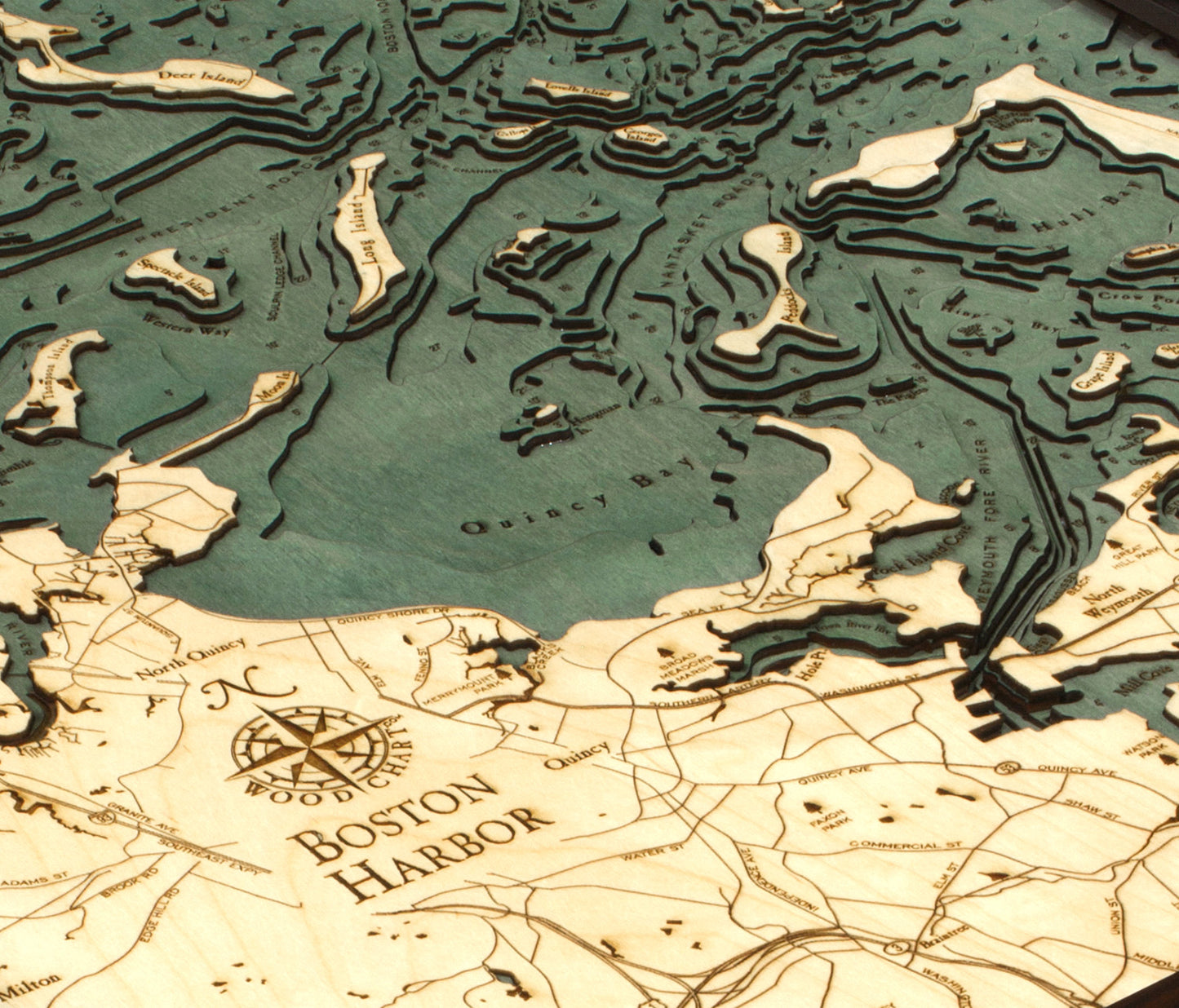
A 3-D nautical wood map featuring Boston Harbor, a natural harbor and estuary of Massachusetts Bay, and is adjacent to the city of Boston. Since its discovery by John Smith in 1614, Boston Harbor has been an important port in American history. It was the site of the Boston Tea Party, in 1773, which escalated into the American Revolution.
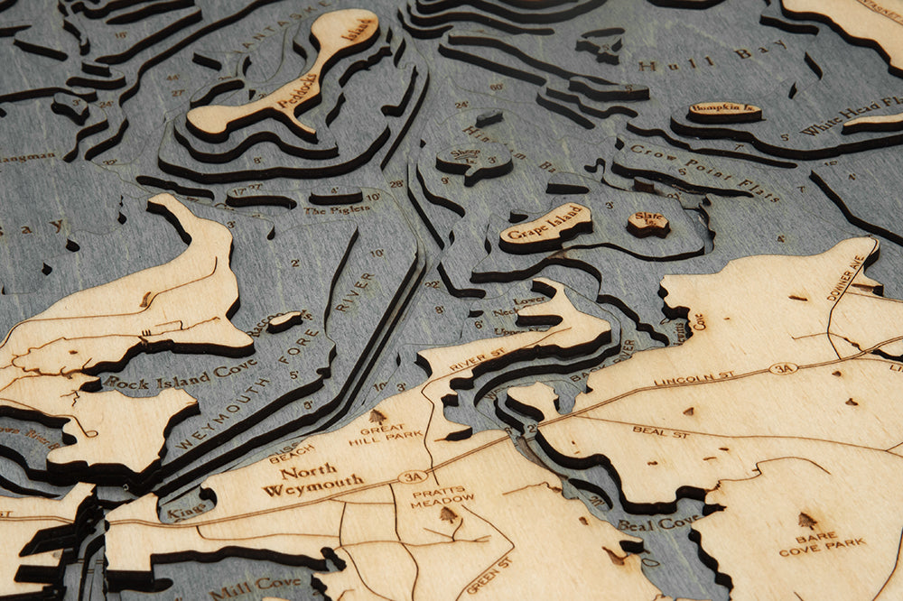
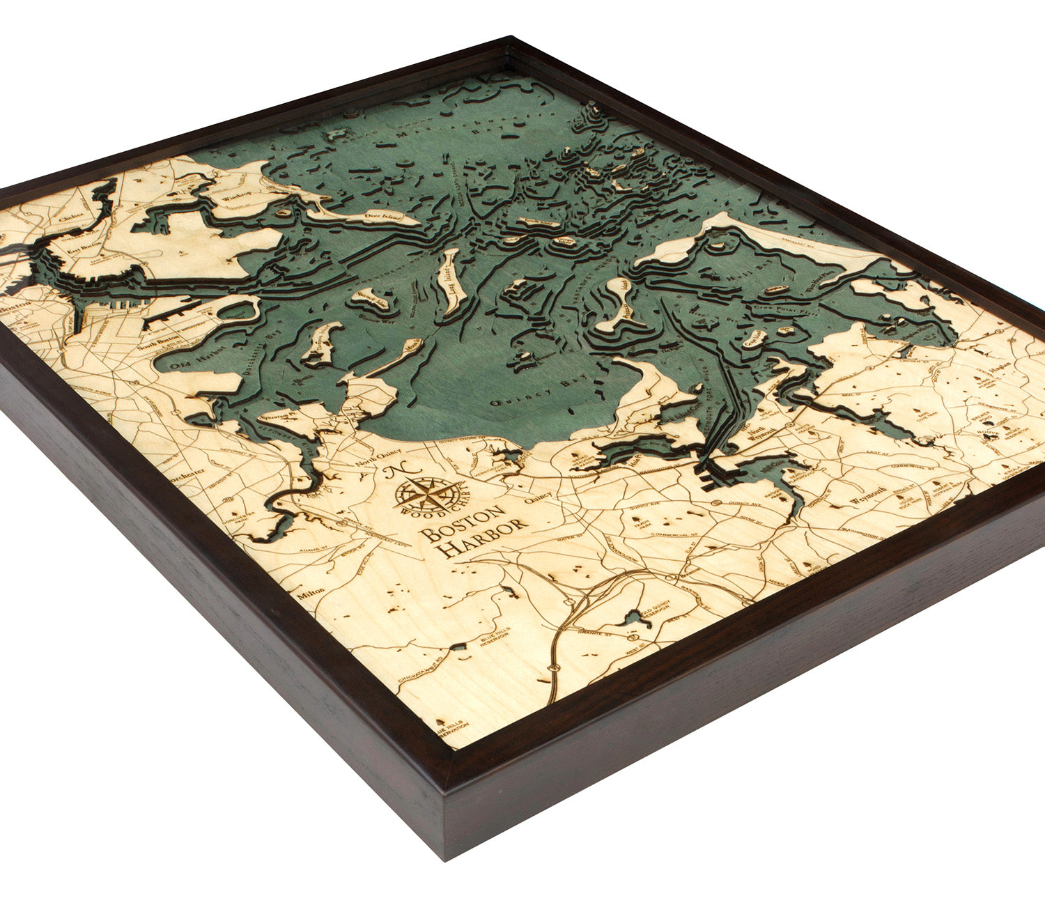
Points of Interest Include: Boston, Winthrop, Chelsea, Dorchester, Weymouth, Georges Island, Quincy Bay, and Little Brewster Island, home to America’s oldest lighthouse.
Wood charts are made from Baltic birch, have a solid wood frame available in two color choices and come ready to hang. Measures 24.5" x 31". This chart comes in two colors, grey (photos 1-3) and dark brown (photos 4-6). Please note the blue coloring varies based on the frame selected.
Please note these may ship directly from the manufacturer and will have Wood Chart visible on the outside of the box.