Lake Ontario Water Depth Wood Chart
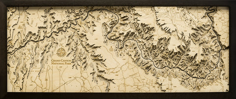
A 3-D nautical wood map featuring Lake Ontario, the "Lake of Shining Waters". Lake Ontario is the easternmost of the Great Lakes and the smallest in surface area. It is surrounded on the north, west, and southwest by the Canadian province of Ontario. The last in the Great Lakes chain, Lake Ontario serves as the outlet to the Atlantic Ocean via the St Lawrence River.
Points of Interest:
Niagara Falls, Toronto, Rochester, Oneida Lake, St. Lawrence River, Amherst Island, and Kingston.
Wood charts are made from Baltic birch, have a dark solid wood frame and come ready to hang. Measures 13.5" x 31".
Please note these ship directly from the manufacturer, located in Michigan, and may contain "wood chart" on the outside shipping box.


