Lake Saint Clair Wood Map Art
A 3-D nautical wood map featuring Lake Saint Clair, a vital waterway in the Great Lakes region.
Along with the St Clair River and the Detroit River, Lake St. Clair connects Lake Huron to Lake Erie. For well over a century, government agencies on both sides of the lake have worked to maintain a deep shipping channel through the otherwise shallow lake (Lake St. Clair's average depth is only 11 feet).
Points of Interest:
Detroit River, St. Clair River, Thames River, Grosse Pointe, Harsen's Island, St. Clair Shores, and Tecumseh, Ontario.
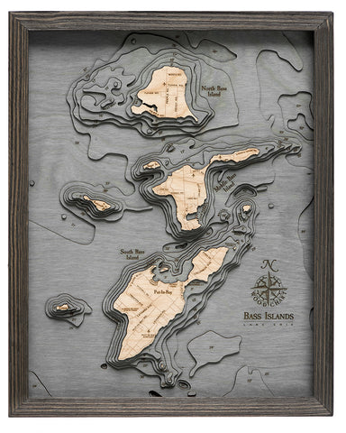
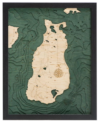
Wood charts are made from Baltic birch and have a solid wood frame and come ready to hang. This chart measures 24.5" x 31" and comes in two colors, dark brown (photos 1-3) and grey (photos 4-6). Please note the blue coloring varies between frame colors. Custom sizes and personalization are not available.
Please note these may ship directly from the manufacturer and will have Wood Chart visible on the outside of the box.