Lake Superior Wood Map Art
$ 375.00
A 3-D nautical wood map featuring Lake Superior, the largest of the Great Lakes, and the largest freshwater lake in the world (by surface area). Lake Superior is enormous. Its deepest point is 733 feet below sea level, which qualifies it as the lowest--and most insulated--point in the continental interior of the United States. The water at the bottom of the lake is so well insulated, in fact, that it stays a constant 39°F and only mixes with the warmer water above it twice each year (when the whole lake is 39 degrees).
Points of Interest Include: Baraga, Calumet, Duluth, Isle Royale, Lake Superior Provincial Park, Marquette, Presque Isle, Sault Ste. Marie, Superior National Forest, and Thunder Bay.
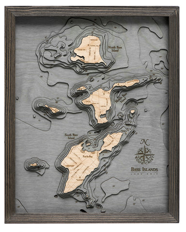
Wood charts are made from Baltic birch, have a solid wood frame and come ready to hang. This chart measures 24.5" x 31" and is available in two colors, dark brown (photos 4-6) and grey (photos 1-3). Please note the blue coloring can vary in hue depending on the wood and dye process. Custom sizes and personalization are not available.
Please note these ship directly from the manufacturer, located in Michigan and may contain "wood chart" on the outside shipping box.